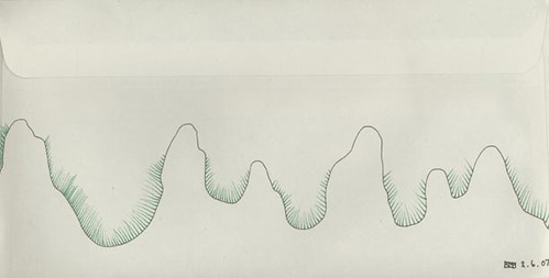
When I was a child I loved to look at Ordinance Survey maps: I would pore over them for hours, virtually exploring both known and unknown territories. I was always very taken by their visual qualities; the contour lines on hills and the little symbols that represented things like ancient forts, sandy beaches, rocky shores, old churches and standing stones. I always felt there was a sort of magic to them, that a flat drawing could tell you how high and steep something was or what sort of terrain you would find underfoot seemed incredible to me, indeed it still does! This drawing brought back strong sense memories of those times spent unconsciously training myself in a language of visual symbols.
Posted: unknown
Returned: 6.6.07


No comments:
Post a Comment